Day 2: Bookelia Island to Coon Key
Sunday, March 6

The alarm went off at 4:30 am; time for adventure! We packed up the boat and shoved off into the pre-dawn darkness.
We tried to follow the land around to the southeast toward Matlacha Pass, but soon ran into shoals and found that we needed to pull straight into a north headwind in order to clear some shoals. As we got into deeper water, we found some big, mature seas that had 15 miles of fetch to grow as they travelled down Charlotte Harbor. It was a more invigorating way to wake up first thing in the morning than I had anticipated.
Once we cleared the shoal, we turned down wind and rode the seas into Matlacha Pass. We had to keep working our way to the east to avoid the breakers on the shoals. There was a crescent moon in the sky as the light grew in the east, and we saw dolphins jumping out of the waves. These are the moments that you just don't get to experience any other way!


Once it was light and conditions moderated a bit, we put up a tiny scrap of sail, which was enough to keep us moving in the following wind and seas.


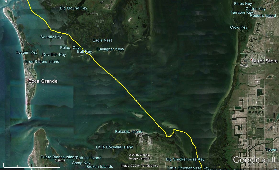
The wind died as we came into the sheltered water of the pass, and we stopped in at the park south of the bridge to take on enough water to get us the remaining 80 miles or so to Checkpoint 2 at Everglades City.


The wind increased again as we set off from Matlacha park, now more from the east.

For a fantastical moment, I thought we could just head straight for the Sanibel Causeway, but I soon saw oyster reefs in the way. The path through the oyster reefs was complex, I should have plotted a more detailed route. There were so many winding channel markers, it was hard to tell the order of them.

As we came out of the oyster reefs, PrivateHam and ImOnABoat overtook us in their (relatively) giant Astus 20 foot trimaran.

We paddled hard against and incoming tidal current under Sanibel Causeway, and came out into the Gulf to find a flat sea with a stiff breeze blowing off the land from the northeast, which gave us a beam reach to Punta Rassa at Fort Meyers Beach.


The breeze all but died once we came abreast of Fort Meyers Beach, and we paddled through the heat of the day with occasional help from the sail.


In 2014, we camped at Wiggins Pass on the second night, at mile 116. This time, we wanted to make it as far as possible toward the relatively sheltered Wilderness Waterway before the forecast southeast headwind developed in earnest. If the tail wind held up, maybe we could make Camp Lulu key at mile 162, which is on the border of Everglades National Park. We hoped at least to make it into Big Marco River before dark, at mile 135.

A long swell developed as we worked our way south. Watching the crab pot buoys appear and disappear behind the swells reminded me of a miniature version of some Deadliest Catch episodes I have seen.
We paddled hard to make it into the pass before dark. The swells gathered behind us, lifted the boat, and lowered it down again as the final miles stretched on in the fading light, all silver, orange, and blue. We entered the pass at dark, the incoming tide flattened out the waves so the conditions were smooth.


It did not take long to get drowsy as we paddled through Big Marco River in the night. We would be ready for a campsite soon. The first option was Coon Key. I has spotted a beach on Google Earth and placed a waypoint there.

At first I was excited about the spacious beach, but Lauren pointed out its low elevation and the rising tide. Now that I thought about it, it did look like the whole island had been awash at times. We consulted the tide table. The tidal range was a relatively large 4 feet due to the new moon. The highest point we could find was surely not more than 2 ft above the water, but it was hard to tell. I reasoned that the debris line and footprints indicated that the prospective tent location had not been flooded at the last high tide, which was not any higher than the tide to come, so we would be OK.
A chilly breeze was blowing across Gullivan Bay, which would be a headwind if we decided to press on 3.5 miles to the next campsite. I was very tired and neither of us wanted to go on. We would take our chances with the tide. I pulled on my rain gear over my damp paddling clothes and a warm hat, and started to fix some Mountain House meals on the Jetboil while Lauren set up the tent.


After a hot meal, we crawled into the tent. The waves lapped very close to our ears, but I was determined not to worry about the rising tide, and to make the best out of my four hours of sleep.
We learned later that PenguinMan camped at Coon Key just south of us, arriving a few hours later. He likely found a better spot than we did.
We had come 153 miles in the first two days; a very good run for us. It was only 11 miles to Checkpoint 2 and the Everglades, so we were in a good position for the anticipated increasing east wind.

Link to Day 3
No comments:
Post a Comment