It was late September, and there was a heat wave in Michigan. It was the kind of day when the water blends with the atmosphere, leaving no trace of a horizon. It was the kind of day when sailing meant bobbing in the heat of the sun, but we had set aside a 3-day weekend on our calendar for a Sorcerer adventure, and we were determined to enjoy one last cruise for the season. The forecast called for little to no wind for all of the seas in our driving radius, but there was a glimmer of hope for a breeze in Saginaw Bay. We packed and drove north to Beadle Bay Marina and Campground.
Wild Fowl Bay and North Island
Wild Fowl Bay is nestled below Sand Point in the larger Saginaw Bay of Lake Huron. We had often viewed Charity Island as a potential destination, so maybe this weekend would be an opportunity when conditions would be safe for a crossing. We had heard there was a lighthouse and small private harbor on the island that could offer a safe anchorage if necessary. Wild Fowl Bay, itself, had several small islands that seemed promising for anchoring.
Saginaw Bay. Credit: charts.noaa.gov
We launched late in the afternoon, set our sails, and pointed the boat toward North Island, which would be our first destination of the voyage. Although the forecast was for light air during the day, winds were expected to pick up somewhat during the wee hours and shift to the southwest. An anchorage off the north side of North Island would offer shelter from this southwest breeze at night.
Wild Fowl Bay. Credit: charts.noaa.gov
The water was not totally glassy as we headed out of the Beadle Bay Marina.
Heading out of Beadle Bay Marina
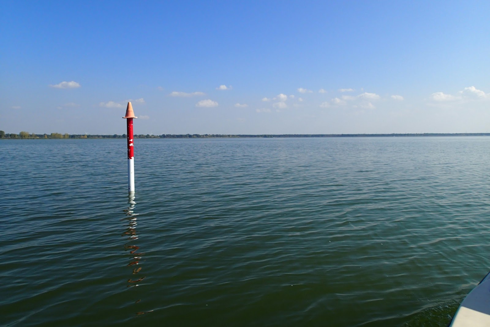
Channel marker for the entrance to Beadle Bay Marina
Leaving Sand Point
Even though there was no wind, we were happy to be out for a long Sorcerer Weekend. If we had stayed home, we would have been doing yard work in the heat wave.
Approaching North Island in Wild Fowl Bay
Bobbing in the hot sun of Wild Fowl Bay
After a couple of hours of baking in the still, hot air, we decided to motor our way to the island, where we could anchor for a swim.
Anchored off of North Island
Mark was excited to take some underwater pictures of the cladophera and zebra and quagga mussels.
Cladophera on the lake bottom
Quagga mussels
Swimming near Sorcerer
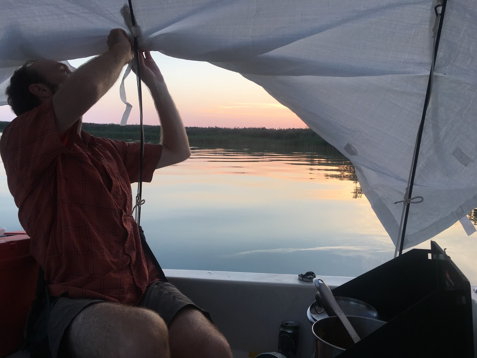
As the sun began to melt its way toward the horizon, we decided to choose our final anchorage on the north side of the island and set up the tent. As we settled in, Mark commented that this should be a good anchorage, given the forecast for winds to pick up from the southwest. Mark said the only thing that would cause us trouble would be an unexpected sudden squall from the northwest, but what are the odds of that happening?
Tying the tent fly for sunset
All cleaned up after our swim.
The eggplants in our garden were really prolific this year, so we cooked pasta with tomato sauce and eggplant for dinner.
Our kitchen. I am usually the chopper and Mark is the cooker.
It's fun to cook on Sorcerer!
Cooking dinner
After dinner, we sat back to enjoy the night sky. We noticed the flash of lightning off in the distance toward the north. I checked the radar on my phone, and we agreed that the storm track was far to our north and heading east. The forecast was still calling for a shift to southwest winds in the wee hours. We would be safe.
The calm night
As we were brushing our teeth and preparing for a calm night's slumber, I noticed small patches of foam floating past the boat on the calm water. I thought to myself, "Huh. That's funny. I didn't notice the current before." I learned later that Mark had been thinking the same thing. In no time, the calm, glassy water turned into a torrent of sloshing waves being kicked up by a rapidly building breeze from the northwest. This is exactly what we had earlier remarked would be the only condition in which our anchorage would be unsafe! I went to the bow and determined that the anchor was not holding on the rocky bottom. We were drifting quickly toward the shore of North Island. I let out all 100 ft of rode, and I could still feel the anchor scuttling across the bottom. During our swim, we noted that the bottom was made of closely-packed cobbles; should have buried the anchor while we were down there. Mark hurried to the stern to start the motor, shoving aside our swimsuits and towels that were hanging on the boom. That was the last I saw of my suit...
Mark started the motor and realized it was none too soon. The rudder was hitting the bottom, and we were nearly blown ashore. With the tent up, no glasses, and the GPS turned off, Mark couldn't see where he was going. I tried to shout over the wind to help guide him around the southernmost tip of the island, hoping against hope that I would be able to see the rocky bottom in time to avert a shipwreck. We could just make out the black outline of the island against the dark sky. Upon later reflection, this was one of those moments that, perhaps only by the Grace of God or Mother Earth or Poseidon or all three, we managed to make it around the point unscathed. We motored around the little bay, blindly searching for a sheltered place in the reeds where we could weather the squall.
As we settled into our new anchorage, we discussed the coming hours. We knew that we had been burned once again by the false comfort of a radar map showing a storm tracking in the distance. What we had experienced was the rainless edge of the squall. The fast current that had surprised us both was the effect of a mini "meteotsunami," a phenomenon that occurs in the Great Lakes when there is a rapid change in pressure that causes displacement of the water surface. See Anderson et al. (2012). We determined that although we were protected from the squall at the moment, the squall would be short-lived and replaced by a southwest breeze before morning. We let out all 100 ft of rode and took down the tent to minimize "sail area." Then, we crawled into bed and set our GPS alarm to monitor our hold on the anchor.
Safe at our new anchorage on the southwest side of North Island
As we anticipated, the squall passed, and the wind later shifted to the southwest, making for a bumpy sleep. All night, we tossed around in the shallow waves, and I woke up regularly to check the GPS and take a peek out the companionway to make sure we weren't drifting into shore. The anchor held, and in the morning, we saw just how lucky we were to not hit any of the numerous rocky shoals
Packing up after a fitful night
Even small waves like these can feel like a washing machine if you're trying to sleep on a small boat.
Although the southwest breeze had made for a long, bumpy night, it also promised good conditions for a sail to Charity Island. We packed up and headed back around that southern point of North Island that we had come to know so well before heading out into the open waters of Saginaw Bay.
Heading out to Saginaw Bay
One last view of the south end of North Island. We were happy to leave it behind us.
Charity Island
The southwest breeze meant a long downwind run to Charity Island after clearing Sand Point.
Wing on Wing Selfie
Mark took a turn relaxing in the cabin while I pointed us toward Charity Island.
The lighthouse and harbor are on the north side of Charity Island, so we got a good view of the east side of the island as we continued our downwind run to the north end of the island.
Charity Island
Charity Island
Charity Island
Lighthouse on Charity Island
There is a lighthouse on Charity Island that is privately owned. We had heard that although part of the island was private, the lighthouse grounds were open to the public. In fact, the owners maintain the lighthouse for tourists and offer a cruise and tour that leaves from Caseville and Tawas. We wanted to get a good view of the lighthouse before exploring the island, so we trimmed the sails and poked around the corner of the island.
Charity Island Lighthouse
Charity Island Lighthouse
Tacking in front of Charity Island Lighthouse
After a couple of sightseeing tacks, we headed into the small harbor on the north side of the island.
Entrance to the harbor on Charity Island
Entering the Charity Island harbor
The entrance to Charity Island harbor
The channel to the harbor on Charity Island
The harbor on Charity Island is a remnant of a real estate dream. It was blasted out of the rock in the 1980s in the hopes of developing vacation homes. Although about 80% of the island was sold to the Fish and Wildlife Service in the 1990s, the lighthouse complex remains privately owned, and several of the docks in the harbor had "reserved" or "private" signs attached. We pulled up to the safest looking non-reserved dock and disembarked to look for a path to the lighthouse.
The harbor on Charity Island
Trail from the harbor to the lighthouse
There was a structure on the end of the harbor that appeared to be the shell of a former tiki bar.
The tiki bar on Charity Island
Too bad it wasn't open for business!
A cool millipede on the path to the lighthouse
Beach plants on Charity Island
The quagga mussel strewn beach on Charity Island
As we approached the lighthouse, we saw that the tour staff was setting up for the arrival of the next dinner cruise. They appeared to be okay with us wandering around a bit while they worked. There were several informational placards describing the history of the island.
A stunted apple tree and an informational placard on Charity Island
Informational placard on Charity Island
The Charity Island Lighthouse
The beach in front of the Charity Island lighthouse
I know that sumac is a weed tree, but it is so pretty, especially when contrasting with the daisies.
Sumac on Charity Island
We contemplated camping out for the night in the harbor, but the day was still relatively young, and we wanted to sail more. We decided it would be a fun excursion to set sail for the Caseville Municipal Marina, where we could enjoy a "night on the town." On the way out of the harbor, we noticed that there were several large cruisers that had nosed up to the beach while we were on the island. This appears to be a popular place to come for a swim.
Exiting the Charity Island harbor
After exiting the harbor, it was a straight shot on a broad reach to Caseville. We enjoyed a fast sail for a while.
Pointing toward Caseville
I escaped the sun for a bit in the cabin while Mark steered us toward Caseville.
Soon, our fair breeze faltered, and we were once again drifting into glassy water on the approach to Caseville.
Calming seas as we leave Charity Island behind
The wind was dying, but we were not quite ready to call it a day. We each took turns swimming while the other made 0.5-1 knot toward Caseville.
A slow, swimming sail toward Caseville
When it was Mark's turn to swim, he took the opportunity to take some underwater pictures of Sorcerer's bottom in the clear water of Lake Huron.
Our swing keel
An intimate view of our keel box
Sorcerer from below
Caseville
Approaching Caseville
As we approached Caseville Harbor, Mark called the municipal marina on the VHF radio. We requested a slip for a 16 foot sailboat, and they had a spot. Soon, we were called back by the marina to ask if it was 60 feet or 16 feet. We later learned that they were confused because they had never heard of a 16 foot sailboat having a VHF. We had a good laugh about this with them in the marina office.
Entering Caseville Harbor
The Caseville Municipal Marina.
We were tempted to go to a restaurant for dinner, but we had more fresh food to cook, so we made another meal of tortellini and eggplant before hitting the town.
Cooking dinner in the marina
After dinner, we cleaned up in the shower and headed into town, where we discovered the Thumb Brewery, which, lucky for us, was still open for the season. We enjoyed a couple of drinks on the patio and then headed back to a peaceful slumber in the marina.
In the morning, we headed out for our last leg of the voyage. It was time to head home.
Leaving Caseville
Leaving Caseville
Once again, we were met with light winds, but we managed to sail our way to Sand Point.
Glassy waters of Saginaw Bay
Sand Point is surrounded by shallow water. With such little breeze to help us get around the point, we hoped that we could float over the shallows with our keel raised. We nearly made it around before hitting the sandy bottom and turning back.
Calm waters off Sand Point
Calm waters of Sand Point
After hitting the sand bottom, we turned back and aimed toward a small channel entrance that we had seen on the north side of Sand Point. We hoped that this channel would see us through to the other side of the point so that we would not have to attempt circumnavigation again on the still water.
Entering a channel on Sand Point
Unfortunately, the channel did not pass to the other side of Sand Point. With the prospect of a long drive home, we decided it would be best to motor our way around the shallows rather than attempt to sail on the glassy water again. I went to the bow to watch for rocks while Mark motored us around the point.
There was no wind on the other side of Sand Point either, so we continued to motor toward the channel that led to Beadle Bay. Soon, we were back to the channel and heading into the Beadle Bay Marina and Campground to pack up Sorcerer and head home.


No comments:
Post a Comment